


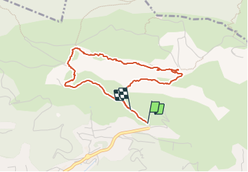

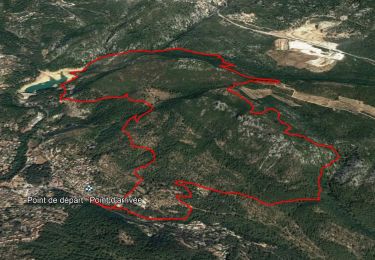
14.1 km | 21 km-effort

User


FREE GPS app for hiking
 SityTrail
IGN / Geographical institutes
SityTrail World
The world is yours!
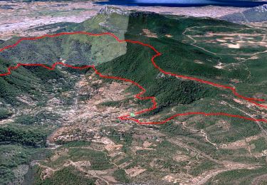
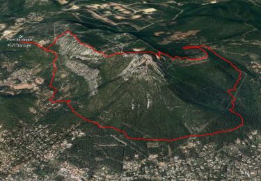
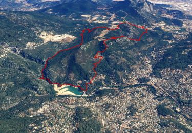
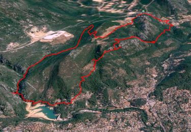
Trail Walking of 4.1 km to be discovered at Provence-Alpes-Côte d'Azur, Var, La Valette-du-Var. This trail is proposed by cousam.
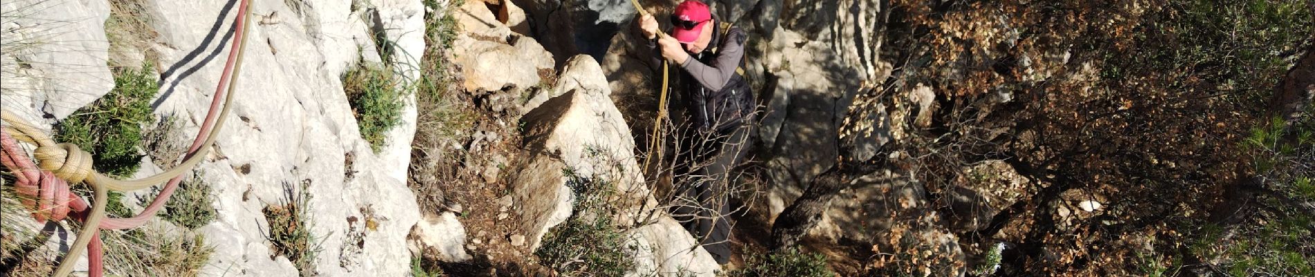
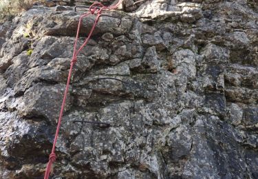
Passage hard avec cordes (bonnes prises)
Eventuellement prévoir baudrier corde pour assurer


Walking
Walking
Walking
Walking

Walking

Walking
Walking
Walking
Walking